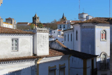
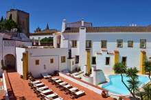
Évora is the capital of the Alentejo and has plenty of attractions, including a Roman temple, an impressive cathedral and a bone chapel. Besides sightseeing, the uniform whitewashed architecture with yellow trimmings makes Évora a delight for wandering - if sore pilgrim feet are up for it.
Pane e Vino is an excellent Italian restaurant in the city centre, while Salsa Verde is a popular vegetarian option for its buffet lunch and dinner.
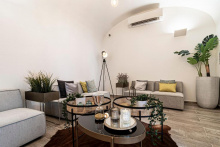
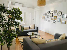
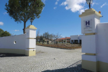
Accommodation in Évora
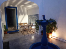
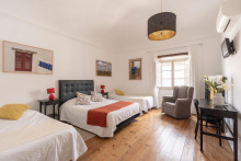


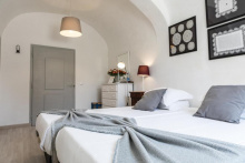


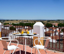


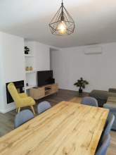
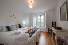
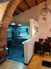
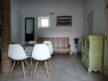

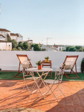
For a true camino experience, call Dona Joana in advance on +351 961 687 306 and arrange to stay with her in São Miguel de Machede. Joana has set up what can only be described as a remarkable pilgrim annex in her backyard as a donativo. The room has a double bed and two bunk beds with an attached bathroom. Pilgrims can also cook meals in her basic outdoor kitchen, a handy option as there aren’t many places for eating out.
During the first part of the next stage between São Miguel de Machede and Azaruja, there is a gate that is often closed. Joana will make a big deal of it and try to arrange for the gate to be opened, but if you have to climb it, it’s not that hard.
Azaruja is home to Portugal’s oldest bullring, though it’s abandoned now.
If you’re interested in cork, consider a 1.3km detour (each way) from the bullring to Cortiçarte. There, David will explain the process of cork extraction and production, and there are interesting items to view in the shop. To confirm a visit, call English-speaking David in advance on +351 967 790 218.
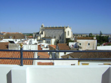
The camino doesn’t go up to the castle, but it’s a must for the exceptional views of the beautiful countryside as well as the fortifications.
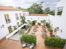
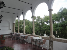
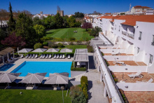
Consider splurging to stay at The Place, the only accommodation inside the castle walls. The charming hotel takes full advantage of multiple terraces for fabulous views, and expatriate owners Vicky and Mitch are extremely welcoming, give lots of personal attention and serve delicious food.

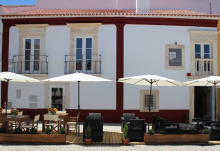
Estremoz is an interesting town that’s well worth exploring. Entering the town on the camino through the Évora Gate reveals a characterful neighbourhood containing some abandoned buildings, while the northeastern part of the old town is more affluent. Inside the castle, a 16th-century Manueline prison has tastefully been turned into the bar and restaurant A Cadeia Quinhentista.
The Museu Berardo Estremoz opened in July 2020 and is a fabulously presented museum showcasing 800 years of Portugal’s famous small, polished tiles known as azulejos. The museum contains the largest private collection of azulejos in the country.
There are several workshops/shops showcasing bonecos (dolls or figurines), a local tradition in Estremoz. One of them, Afonso Ginja, is one block west of the castle entrance.
To get an official stamp, go to the Museu Municipal inside the castle.
Leaving Estremoz, the old route went through Santo Amaro, but the new, more rural route goes through Sousel - with both routes joining up before Fronteira. To take the Sousel route, follow the arrows left off the road at Monte da Granja.

Sousel is a fairly nondescript town with one interesting quirk for pilgrims: a now-abandoned building with two scallop shells and two swords carved into the façade at Rua de São Pedro 30. Nearby, Hospedaria de Roda is a 3-star hotel that has a modern shell and sword on its façade as an homage to the earlier building, thought to have been an albergue.
Leaving Sousel, an easy-to-miss arrow on the N372 road on the outskirts of town directs pilgrims off the road to the left.
Shortly after returning to a paved road 6.5km before reaching Fronteira, the camino turns off the road to the left and follows the disused railway line parallel to the road. The first 2km of this path is on ballast and is quite difficult, especially the first part. Consider staying on the road for those 2km, then turning onto the railway tracks when you reach the sign for the Monument to the Battle of Atoleiros. At this point, the railway tracks turn into a walking-friendly eco path all the way to Cabeço de Vide.
After slightly more than 2km on the eco path, the camino turns off to the left and makes a large loop through the centre of Fronteira that is not strictly necessary. If you’re staying at the Bombeiros in Fronteira or going on past the town, stay on the more direct eco path instead.
Accommodation in Sousel

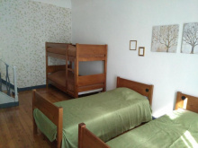
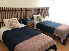
The Bombeiros (fire department) offer free accommodation to pilgrims in an annex across the road from the fire station in the southern part of town. The accommodation is in the form of twin rooms with private bathroom that are simple but adequate. The bombeiros also have an official stamp.
Accommodation in Fronteira
| Segredo d'Alecrim Booking.com |
|
The Termas da Sulfúrea hotel offers a significant discount for pilgrims. Other than this, there’s not much reason to stay here as the baths are for health purposes rather than recreation.
The camino path doesn’t go up to the castle but it’s worth the short detour for beautiful views over the valley below and down to Alter do Chão. The castle itself is in ruins.
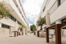
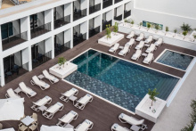
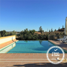
The Hotel Convento D’Alter, a 17th-century convent turned into a 4-star hotel, is good value and the pool is very welcoming on a hot Alentejano day.
Visiting the Roman Casa da Medusa is by infrequent guided tour only. Call the Palácio do Álamo in advance on +351 245 612 385 to find out the tour schedule.
Accommodation in Alter do Chão

María Isabel offers accommodation to pilgrims but she lives 10km from Crato (no longer near Évoramonte as some older sources indicate). She can be reached at +351 910 129 003.
There is no shop in Vale do Peso, despite the official guide’s claim that it’s the last place to stock up on provisions until Alpalhão. Buy what you need in Crato and if the timing is right, there’s a picnic area just past Vale do Peso.

The impressive medieval fortress-church at Flor da Rosa only opens at 9:30/10am depending on the day and season, too late for most pilgrims staying in Crato to visit in the morning. An alternative is to visit the afternoon before as it’s only a 25-30 minute walk from Crato, or to stay in the pousada at the monastery.
Accommodation in Vale do Peso
| Casa do Peso ⭑⭑⭑⭑ Booking.com |
|
In Alpalhão, Regata is a good and popular restaurant. On weekends, a reservation may be necessary.
The local government in Nisa is keen to associate the town with the camino, as evidenced by the information boards about the Caminho Português Interior that appear throughout the municipality. There are also way-marking shells in and around Nisa that pay homage to the town’s pottery tradition.
Residencial São Luís is a good budget accommodation option in Nisa owned by José, a pilgrim himself who is knowledgeable about the camino around Nisa.
Just before entering Pé da Serra, the camino turns left off the road and skirts the village. To enter the village, stay on the road.
Vila Velha de Ródão makes for a spectacular entry into the Beiras - not for the town itself, which is nothing special, but for its location. The town is on the north side of the Tejo river, and for the last section of the stage in the Alentejo and the bridge crossing, there are fabulous views of the river and the Portas (Gates) de Ródão, giant rock formations that rise from both sides of the river.
To appreciate this scenery more, there are boat trips to the ‘gates’ organised by the Vila Portuguesa restaurant (Tue-Sun, last trip at 3pm). Alternatively, there is a marked trail to the castle atop the rocks on the Beiras side (about 40 minutes each way from the bridge). Only one tower remains of the castle, said to have been built by the Visigothic king Wamba in the seventh century, but the views of the river and its banks are well worth the climb.
Leaving town, the first 4km is on a paved road in sight of large factories. After this the surface and view improve significantly as the camino becomes a dirt road through pine forest.
