The Vía de la Plata
In Castilla y León
Andalucía
Extremadura
▶ Castilla y León
Camino Sanabrés (Sanabria y Galicia)
To Astorga (and the Camino Francés)
Accommodation Directory
The albergue has re-opened! And the Cepsa gas station down the road also opened a small shop with food.
The camino turns left and away from the road at the entrance to Peñacaballera, if you got distracted and ended up at a roundabout you went too far. From the alto the camino begins its winding descent to La Calzada de Béjar, crossing along the way the Puente de la Malena (4km).
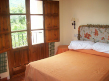
Accommodation in Puerto de Béjar / Peñacaballera
| Albergue de Peregrinos de Puerto de Béjar Donativo€ 16 |
| Hotel Rural El Jardín del Conde ⭑⭑⭑ Booking.com |
|
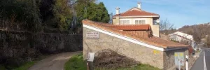
Once an important frontier outpost, La Calzada has seen 90% of its population vanish in the last century. The albergue receives praise from most pilgrims, and several homes have been converted into lovely rural accommodation.
Mostly straight and mostly flat walking all the way to Valverde de Valdelacasa.
Accommodation in La Calzada de Béjar
| Albergue Rural Alba y Soraya 12€ 24 |
|

Take a moment to enjoy the views of the surrounding mountains.
Follow the road out of town in the direction of Valdelacasa.
Accommodation in Valverde de Valdelacasa
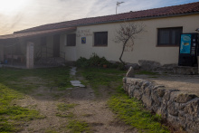
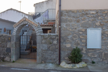
| Albergue Santiago Apóstol 10-15€ 22 |
|
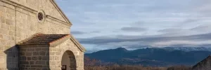
The camino leaves Valdelacasa along a paved road, and in 2km it leaves the road in favor of a dirt track to the left. The signage here is not great and might have you believe that you should stay on the road; it is OK if you do, both ways will get you to Fuenterroble de Salvatierra.
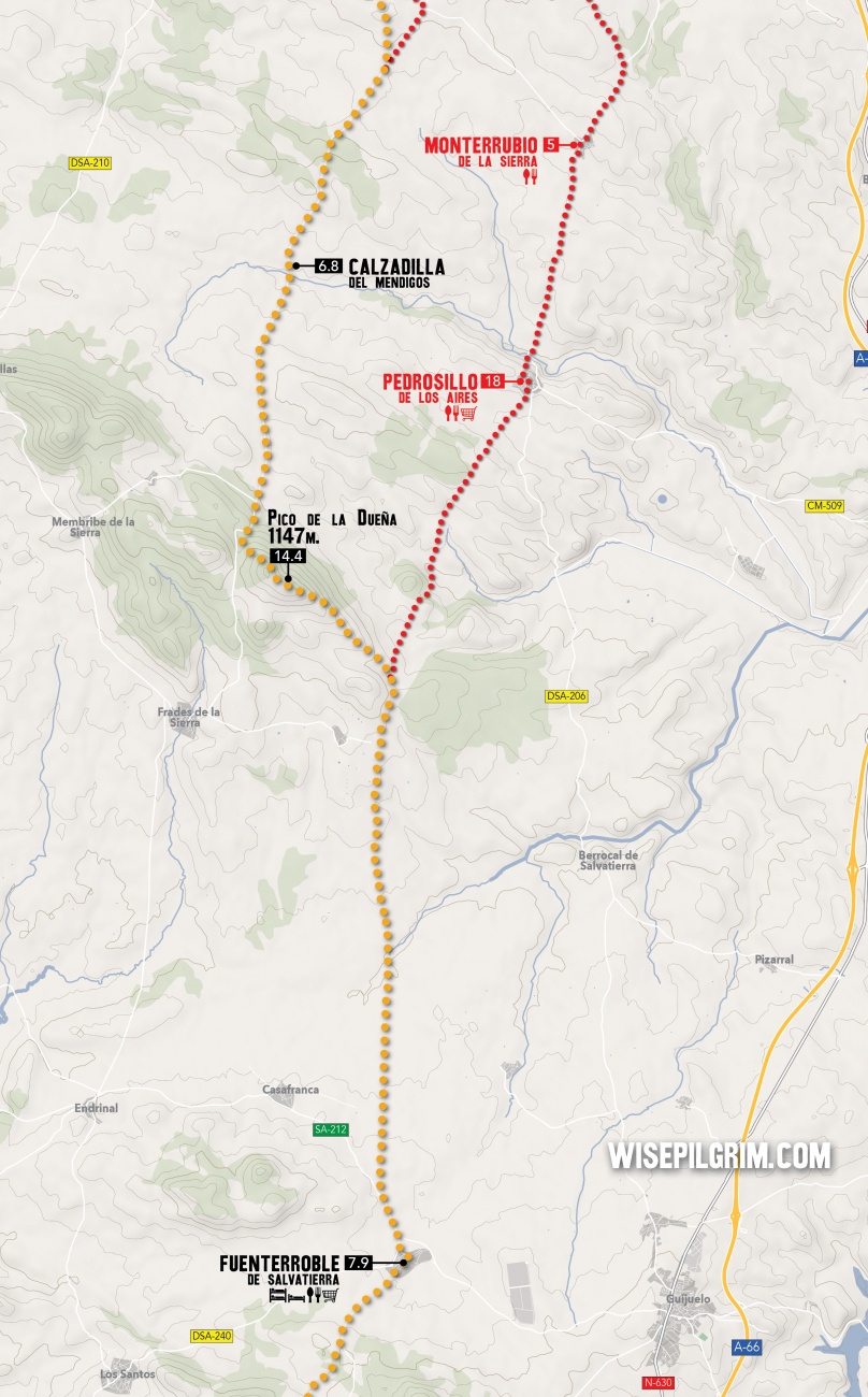
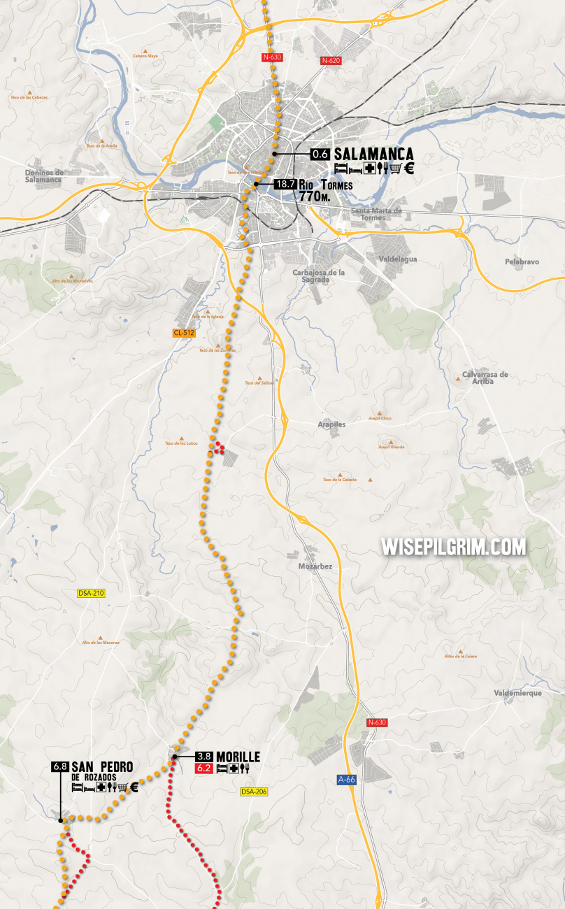
Between Fuenterroble and Morille the camino splits into two distinct routes. The split happens 11.7km from Fuenterroble at a place signposted as Dueña de Abajo.
LEFT ROUTE - 31.8km (20.1km from split)
This route is slightly longer but has the benefit of hosting a pair of albergues in San Pedro de Rozados. However, that is the only village with any services until Morille. The high point along the way is the Pico de la Dueña (14.4km) and beyond that is the private pig farm Calzadilla del Mendigos (6.8km).
RIGHT ROUTE (THE ALTERNATE ROUTE) - 29.2km (17.5km from split)
Slightly shorter but with two places to stop for a coffee, this is the preferred route if you are going through to Salamanca.
Accommodation in Fuenterroble de Salvatierra
| Albergue parroquial Santa María Donativo€ 70 |
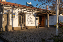
|
LEFT ROUTE - 31.8km (20.1km from split)
This route is slightly longer but has the benefit of hosting a pair of albergues in San Pedro de Rozados. However, that is the only village with any services until Morille. The high point along the way is the Pico de la Dueña (14.4km) and beyond that is the private pig farm Calzadilla del Mendigos (6.8km).
San Pedro is a bit off the camino, you can keep on the road to Morille if you do not plan to stop here.
Accommodation in San Pedro de Rozados
| Casa Rural VII Carreras Booking.com |
RIGHT ROUTE (THE ALTERNATE ROUTE) - 29.2km (17.5km from split)
Slightly shorter but with two places to stop for a coffee, this is the preferred route if you are going through to Salamanca.
Accommodation in Pedrosillo de los Aires
| Refugio de peregrinos de Pedrosillo de los Aires Donativo€ 10 |
Both routes rejoin in Morille
10km from Morille the camino passes nearby the village of Miranda de Azán (bar), it is 300m out of the way but is the only stop between here and the suburbs of Salamanca.
As you near Salamanca you will cross under two motorways, the second of which marks the entrance to the developed suburbs. The camino reaches a roundabout and continues straight through it to enter a park with a pedestrian trail. It follows a small stream and avoids the paved roads until just after passing under a railway bridge. At the road, it turns right and continues straight towards and across the Río Tormes (18.7km) via the Puente Romano. It follows a path through the heart of Salamanca.
Accommodation in Morille
| Albergue municipal de Morille 10€ 30 |

|
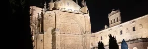
Salamanca is, without any exaggeration, the single most spectacular Renaissance city in all of Spain. The old town is built almost exclusively of locally sourced sandstone, and in the bright Castillian sunlight it shines like gold. It has two Cathedrals (old and new), conjoined due to a miscalculation when construction on the latter began. The New Cathedral has some curiously modern carvings; bonus points if you can find the astronaut or the imp eating an ice-cream cone.
If you can, try to see the city at night. It is lit from every angle and the effect is magnificent, particularly in the Plaza Mayor. which is filled with Salmantinos and students alike (Salamanca is home to one of the oldest universities in the world).
As you wander, don’t be afraid to enter the more monumental looking buildings for a peek. Most are open to the public but you would not really know it, and those that are not are staffed with people who are accustomed to tourists wandering in.
Waymarks in and out of Salamanca are scant, there are some bronze shells embedded in the ground but they are not so easy to find. Fortunately, the way out is a nearly straight course due north.
From the Plaza Mayor exit through the center gate of the main facade, onto Calle Zamora. Follow this road to the edge of the old town. The round Iglesia de San Marcos should be on your left and a large roundabout is directly in front of you. You want to follow the road that is directly opposite the roundabout, essentially keeping in the same direction you have been going in. Keep on this course through the next roundabout, and at the third one, veer left to keep the Plaza de Toros on your right. From here there is nothing to do but keep going straight, keeping an eye open for traffic at the numerous roundabouts between here and the motorway.
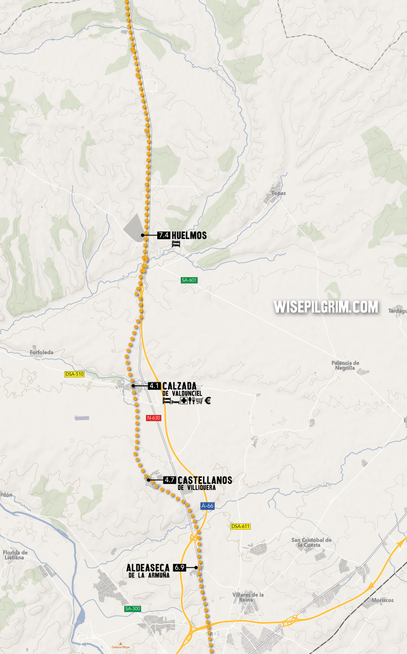
The camino keeps to the road most of the way, leaving it only as the camino nears Aldeaseca de la Armuña.
Accommodation in Salamanca
| Albergue Casa la Calera Donativo€ 16 |
At the end of this small village, the camino returns to the road and crosses over it. Old arrows might try to keep you on the road, but avoid them in favor of a track which veers right. This track crosses the nearby motorway and then returns you to the road safely on the other side where you have to cross back over the N-630 to enter Castellanos de Villiquera.
At the end of this small village, the camino returns to the road and crosses over it. Old arrows might try to keep you on the road, but avoid them in favor of a track which veers right. This track crosses the nearby motorway and then returns you to the road safely on the other side where you have to cross back over the N-630 to enter Castellanos de Villiquera.
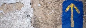
This Calzada (road), and nearly every other derives its name from being situated along an important trade route. Two notable artifacts remain from its founding by the Romans: a collection of milarios (in front of the municipal albergue) and La Fuente Buena (a preserved fountain) across the N-630.
The camino to El Cubo de Tierra del Vino parallels closely the N-630 and A-66 and on several occasions crosses beneath it.
Accommodation in Calzada de Valdunciel
| Albergue de peregrinos de Calzada de Valdunciel 7€ 8 |
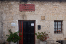
|
| Albergue La Casa del Molinero 14€ 7 |
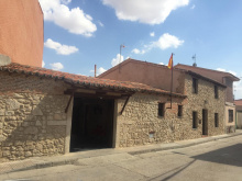
|
| Hostal El Pozo |
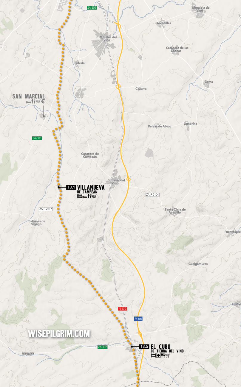
The camino continues straight through El Cubo on the main road, crosses a short bridge, and turns left onto a secondary road.
Accommodation in El Cubo de Tierra del Vino
| Albergue Turístico Torre de Sabre 17€ 20 Booking.com |
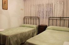
|
On the southern edge of town (on your right as you enter) stands the once majestic Convento Franciscano de Nuestra Señora del Soto. It is a declared ruin now so you cannot see the inside, but the exterior retains a certain charm.
The camino between Villanueva de Campeán is almost entirely through the countryside along well-marked paths. The entrance to Zamora is short, and the first real glimpse you will get of the riverside city is from the mighty Río Duero.
Accommodation in Villanueva de Campeán
| Albergue Privado Villanueva de Campeán 12€ 23 |
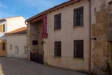
|
Located 1km off of the camino, about 4km after leaving Villanueva de Campeán.
Accommodation in San Marcial
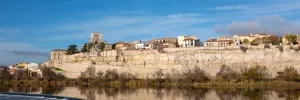
Zamora is world famous for its concentration of Romanesque architecture (and art). There are 14 Romanesque churches in the old town alone and countless more in the surrounding region.
To top it all off it has the Catedral de San Salvador and the Castillo de Zamora, and these are the two that you should focus on if you are overwhelmed by the idea of visiting all of the others. They are adjacent to one another on the west side of the city (off the camino) overlooking the river. The Cathedral is Romanesque and was built in only 23 years, the blink of an eye when measured against other 12th century constructions. The castle is a few centuries older.
Three museums in Zamora merit a visit. They are the Museo Etnográfico de Castilla y León, the Museo Catedralicio de Zamora, and the Museo de Semana Santa Zamora (the best substitute for not being a part of the celebration in person).
In the evening you have a great opportunity to watch the sun set on the city, from the opposite bank of the river. Cross back over the bridge and turn right, following the road to the Playa de Los Pelambres (a riverside beach with views to the Cathedral. When you are ready to call it a night, cross back over the river via the new bridge next to the park (the HBridge of Poets). Once on the other side keep on going straight through the first roundabout. Just past it, across the field on your right, is the Iglesia de Santiago Caballero; it is the oldest and the smallest of the Romanesque churches but at night it is illuminated and it makes for a peaceful place to gather your thoughts.
From the church you can return to the city via one of two gates: up the road to your left is the Portillo de la Traición / Lealtad (the door of treason, where King Sancho met his fate) or down the road to your right to the Puerta del Obispo (the Bishop’s door, which leads directly to the Cathedral).
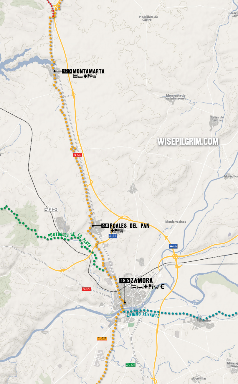
NOTE: There is a separate set of arrows which direct the way along the Camino Portugués de la Plata, a route which turns westward and into Portugal. At the same time, the Camino de Levante (from Valencia) enters Zamora from the east.
The camino through the old town crosses the Plaza Mayor onto Calle da las Costanillas which it follows downhill to the first roundabout. It crosses directly over the roundabout and keeps to this road as it passes through the next large intersection (passing the Iglesia de San Lázaro). Shortly after, this road splits and the camino veers to the left. This way is well marked with signs on posts. It is along this stretch that you may see conflicting arrows (see warning below).
Accommodation in Zamora
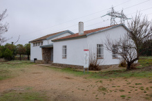
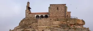
Overlooking the village from the other side of the reservoir is the Ermita de la Virgen del Castillo. The municipal albergue is located along the N-630 before the camino gets to the village, and the Hostal Asturiano is just a bit further south of it.
The way from Montamarta crosses part of the reservoir here, which may be impassible when the water is high. When that is the case simply take the N-630 over the water.
In 4.5km the camino crosses over the A-66 (see note below regarding optional road route). It then crosses a few rivers and returns to cross back over the A-66 once again. From here it follows a straight path directly to Fontanillas. Along the way is a signed detour to visit the ruins of the Castillo de Castrotorafe, a former stronghold of the Order of Santiago.
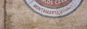
Accommodation in Montamarta
| Albergue de peregrinos de Montamarta 5€ 20 |
|
| El Molino de Castilla |
Accommodation in Fontanillas de Castro
| Albergue de peregrinos de Fontanillas de Castro Donativo€ 12 |

|
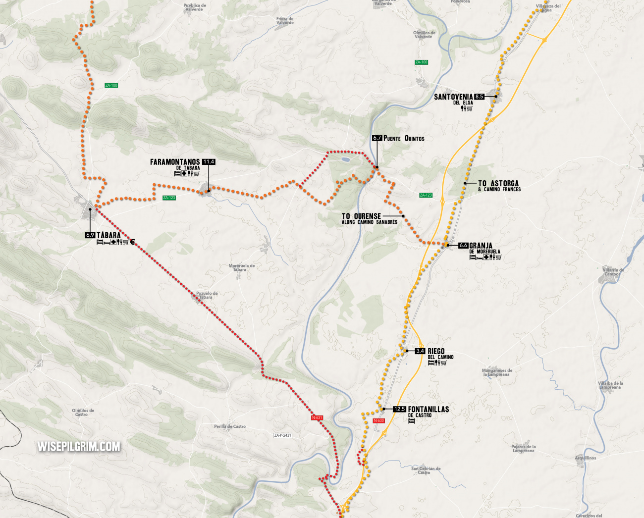
The camino keeps to the countryside and enters Granja de Moreruela along a back street. Immediately you are presented with the choice between continuing the Vía de la Plata to Astorga or following the Camino Sanabrés to Santiago via Ourense.
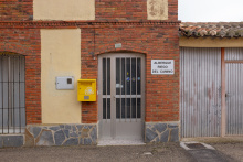
Accommodation in Riego del Camino
| Albergue de peregrinos de Riego del Camino Donativo€ 15 |
|
From Granja de Moreruela you can follow the Camino Sanabrés (follows from below) a total of 366km to Santiago, or you can follow the Vía de la Plata to Astorga 93.8km and from there follow the Camino Francés the remaining 256.9km. A description of the route to Astorga continues on page 98 but this guide does not include the stretch from Astorga to Santiago.
The Camino Sanabrés turns left and due west from Granja. It follows farm tracks to reach the Puente Quintos (6.7km) over the Río Esla.
Once over the bridge, the river splits into two distinct routes to get to Faramontanos de Tábara. The right route follows the road and is preferred when rains have been heavy. Follow the road to the first paved left turn to descend and rejoin the left route. The left route turns left at the end of the bridge to follow a more scenic trail along the river.
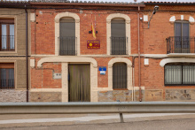
Accommodation in Granja de Moreruela to Sanabrés Route
| Albergue de peregrinos de Granja de Moreruela 6€ 20 |
|
| Casa Rural La Casa del Tío Quico |
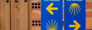
From Granja de Moreruela you can follow the Camino Sanabrés (follows from below) a total of 366km to Santiago, or you can follow the Vía de la Plata to Astorga 93.8km and from there follow the Camino Francés the remaining 256.9km. A description of the route to Astorga continues on page 98 but this guide does not include the stretch from Astorga to Santiago.
