Portomarín
Camino Frances
Portomarín has a strange history. The original town sat on the banks of the Río Miño until 1962, when the valley was flooded to create the Belesar reservoir. The entire town was relocated to higher ground, and the most important buildings — the Iglesia de San Nicolás and the doorway of the Iglesia de San Pedro — were disassembled, moved stone by stone, and rebuilt on the new site.
You cross the reservoir on a long modern bridge, and when the water is low in late summer the ruins of the old town emerge ghostlike from the lake bed — foundations, walls, the outline of the old bridge.
The Iglesia de San Nicolás, rebuilt on the hilltop, is a fortress-church with a rose window and crenellated roofline that looks more military than ecclesiastical. Inside, the Romanesque interior is impressive — the reassembly was expertly done. The doorway of the old Iglesia de San Pedro has been set into the wall of the new church.
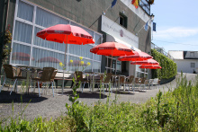
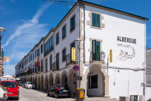
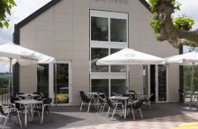
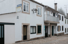
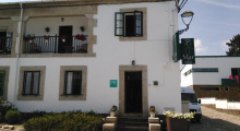
The town has a pleasant central plaza, several albergues and hotels, bars and restaurants. Portomarín produces an aguardiente (grape spirit) with a strong local following. The main street has all basic services.
The terrain on both sides of Portomarín is hilly — you descend steeply to the bridge and climb steeply out the other side.
Be aware of high-speed traffic as you are required to cross back and forth across the main road.
The original Portomarín was an important river crossing on the Roman road and later on the pilgrim route. The Roman bridge and the medieval town were destroyed by the 1962 flooding, though the key monuments were saved. The relocation effort, while controversial, preserved the most significant architectural elements.
From the square simply head downhill along the colonnaded street and stick to it until you arrive at the main road. DO NOT keep going straight. Rather turn left and head back in the direction of the bridge into town. Before you get there arrows will direct you onto a different bridge over a small river that feeds the reservoir.
At the end of the bridge are two options: TURN RIGHT.
From here it is a steadily uphill march all the way to Gonzar, passing Toxibo with its hórreo along the way. After passing through a stretch of forest the camino returns to the main road and parallels it on a gravel track. This track crosses back and forth over the main road on several occasions. Be mindful of traffic here, particularly during the morning hours when the area can be thick with fog.
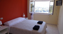
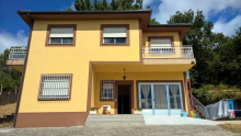
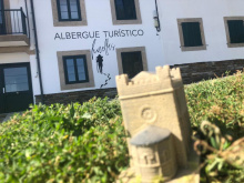
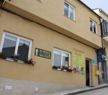
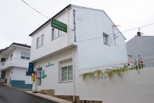
Accommodation in Portomarín.
| Albergue de Portomarín 12€ 110 |

|
| Albergue Ferramenteiro 13€ 130 Booking.com |
|
| Novo Porto 15€ 22 |

|
| Albergue Casona da Ponte 15€ 47 Booking.com |
|
| Albergue Pasiño a Pasiño 14€ 30 |
|
| Albergue Pons Minea 15€ 50 Booking.com |
|
| Albergue Aqua Portomarín 14€ 16 Booking.com |
|
| Albergue Casa do Marabillas 16€ 6 Booking.com |
|
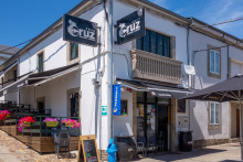
| Albergue Casa Cruz 14€ 16 |
|
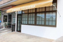
| Albergue Folgueira 12€ 32 Booking.com |
|
| Albergue Villamartín 12€ 20 |
|
| Albergue Huellas 16€ 15 Booking.com |
|
| Albergue Ultreia Portomarin 14€ 14 Booking.com |
|
| Albergue Manuel 14€ 16 |
|
| Albergue PortoSantiago 15€ 14 Booking.com |
|
| Albergue El Caminante 14€ 18 |
|


Comments