69.30
The same great content and more in your pocket, the most up-to-date guidebook to the CAMINO DE SAN SALVADOR available.
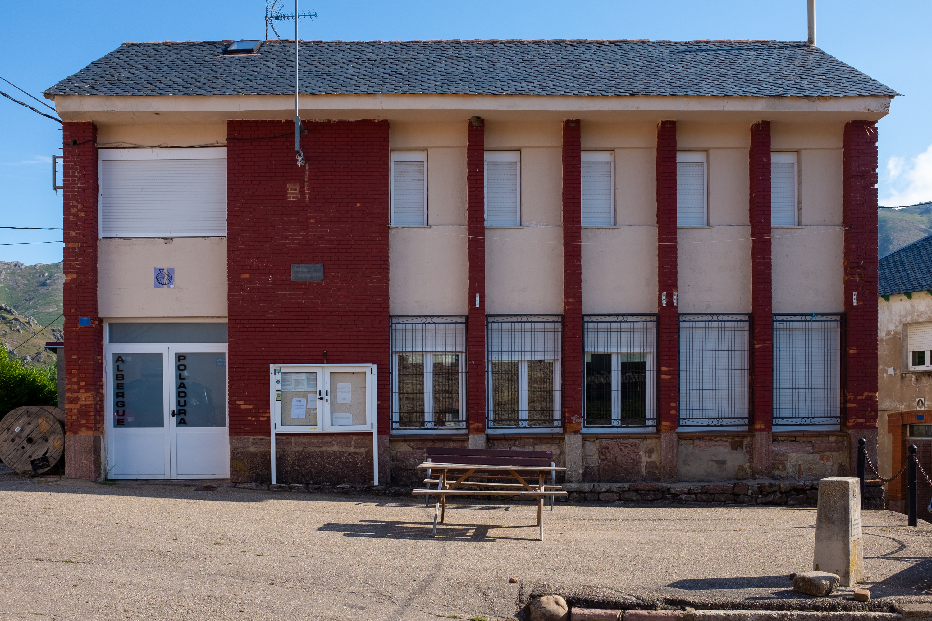
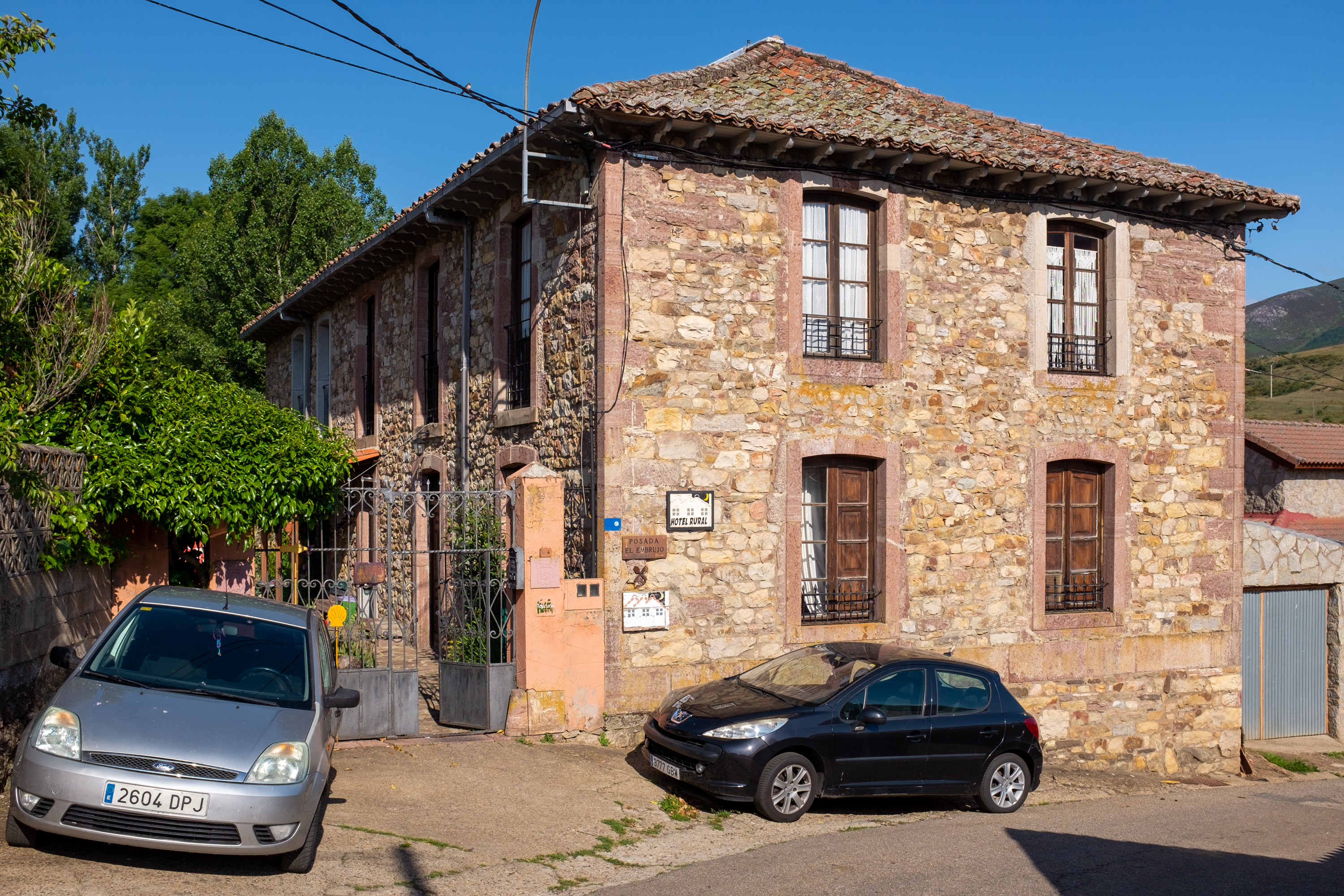
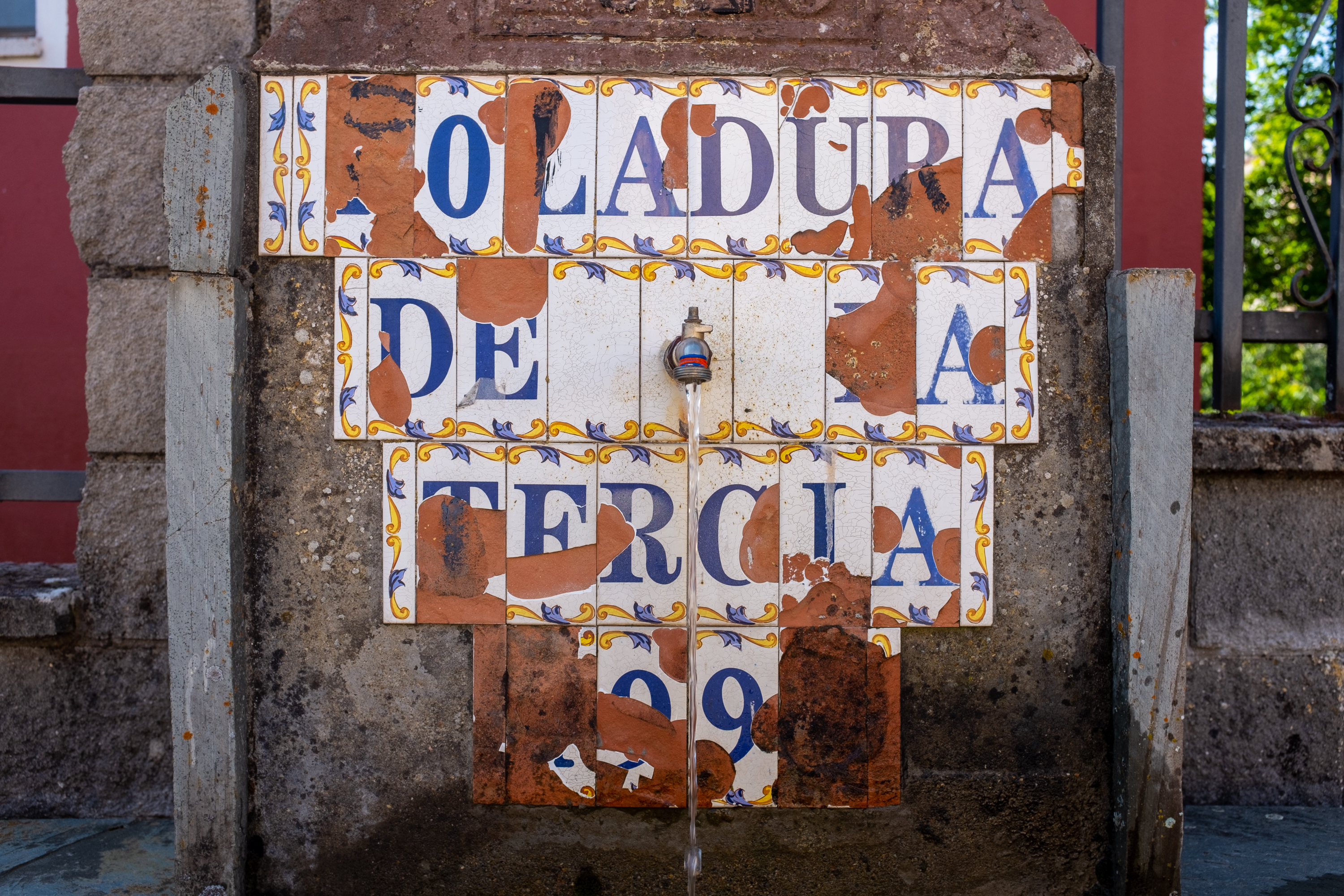
Wise Pilgrim APPPoladura is a small town. The albergue is located in the former schoolhouse, and the only place to eat is the Posada El Embrujo.
The only meal in town is at the Posada El Embrujo. Recommended, and recommended that you call the day before to give them a bit of notice. +34 659 030 282.
A note of caution on the next section is in order.
Between Poladura and the Puerto de Pajares, the camino climbs over 350m through mountainous terrain. It is a stretch of 8km before Arbas and the first sign of civilization. Along the way, the path, and the signs indicating the path are often snow covered well into the summer months. If you are reading this via your phone be sure to charge it up before you set off. Cell phone coverage does not exist along much of the path.
Here is my best attempt to describe the trail: Leave Poladura along the road. At the first bend to the left, the camino leaves the road to cross a small field. A brown mojon is visible from the road and marks the start of the route. The first 1.3km go uphill due northwest and bring you to an opening between two rocky outcroppings. Another 300m of visible paths and the trail turns to your left, and continues around the hill, and slightly downhill, in a clockwise direction (downhill on your left, uphill on your right).
It reaches a low point and begins climbing the next hill to the West. The trail turns South at around 2.3km and shortly after takes a right turn, followed by another right turn 300m on. Another 500m on the well-worn path comes to an end, but the camino continues straight, climbing steeply. You will reach the high point of the camino 4km from Poladura, at an altitude of 1580m. Markers for the next section are often obscured by ground cover or snow, so be extra attentive. Descend from here, due north-northwest 300m. The path turns to the right and then splits. DO NOT continue straight and downhill. DO turn leftwards and begin another climb to another ridge. Follow the natural curve of the ridge for 600m and turn left towards the ridge to your West. It is that ridge that you will follow into Arbas.